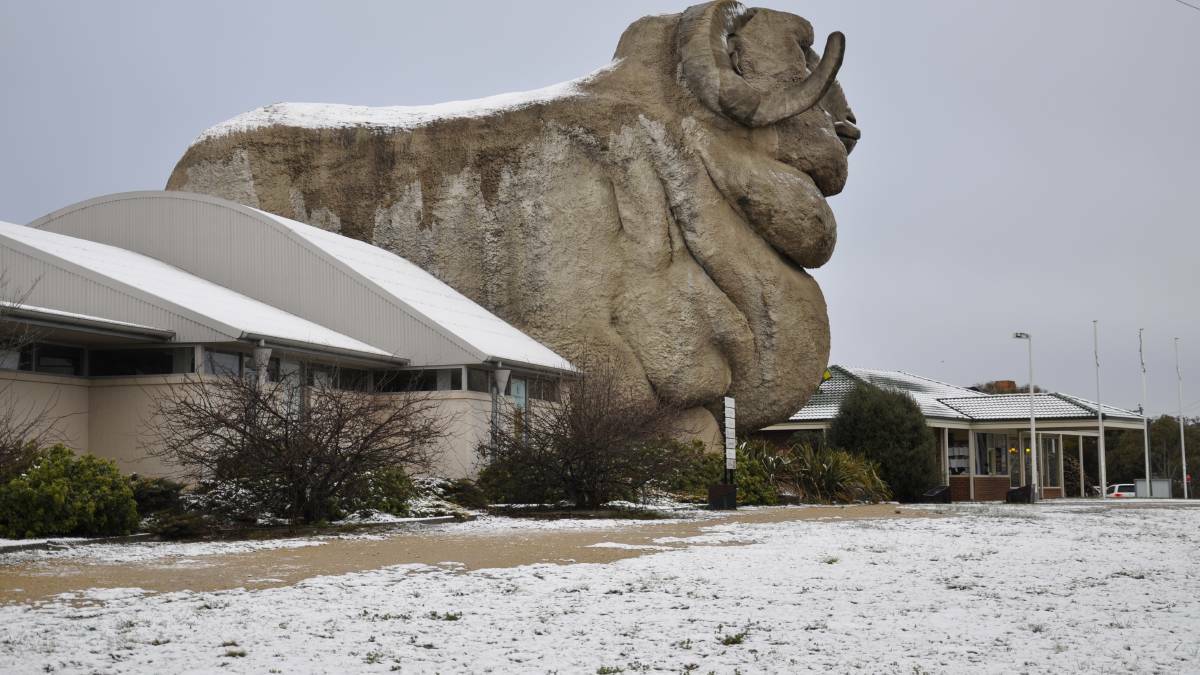
Brrrrrr...it's time to dig out those gloves and throw caution to the wind when it comes to your power bill.
Subscribe now for unlimited access.
or signup to continue reading
The Bureau of Meteorology has issued some cold weather warnings for the Southern Highlands and Southern Tablelands with temperatures forecast to barely crack the teens in the week ahead.
But there may be a reward for those braving the freezing conditions with the potential for some snowfall.
But just how likely are we to see it?

Turn up the heat(er)
First things first, what is actually causing this sudden dip in temperature?
Winter may be here but the particularly nippy weather can be blamed on a cold front moving into NSW.
This will be followed by strong wind and heavy rainfall, ideal conditions for snow.
The cold snap will be concentrated on Wednesday and Thursday with showers consistent across the Highlands and Tablelands.
Bowral will start the day at zero on Thursday as will Queanbeyan while Goulburn will certainly feel Wednesday's low of two and high of seven.
First prize goes to Crookwell however for two brutal days back-to-back. Wednesday will see a temperature range of zero to five degrees and Thursday, minus one to six.
Predicted maximum temperatures:
- Bowral: Tuesday 14 degrees; Wednesday 8 degrees; Thursday 8 degrees
- Goulburn: Tuesday 14 degrees; Wednesday 7 degrees; Thursday 8 degrees
- Yass: Tuesday 15 degrees; Wednesday 8 degrees; Thursday 11 degrees
- Crookwell: Tuesday 13 degrees; Wednesday 5 degrees; Thursday 6 degrees
- Queanbeyan: Tuesday 14 degrees; Wednesday 8 degrees; Thursday 10 degrees
- Braidwood: Tuesday 14 degrees; Wednesday 9 degrees; Thursday 9 degrees
Do you wanna build a snowman?
We know it's cold so the least the weather could do is make it look pretty right?
The BOM is forecasting a strong chance of snow for areas above 900m which puts Crookwell (887m) very close.
Meteorologist Melody Sturm says if snow does fall below 900m it won't stick around.
"It will be mostly Wednesday and Thursday where temperatures will be low enough for rain to turn into snow," she said.
"Any areas below that level, especially in the buffer zone between 800 and 900 metres, we could see snow and rain mix, maybe wet snow, sleet.
"There's still the possibility of some wet snow falling, [but] it may not stick to the ground if you're below that 900m level."
So there you have it. Perhaps not the winter wonderland we were hoping for but it will still be worth poking your head outside on Wednesday and Thursday just in case.
Crookwell residents can probably get their cameras ready as they'll have the best chance to see some snow. Don't forget to send your photos to jackie.meyers@austcommunitymedia.com.au
A reminder also to stay warm and check in on each other, especially those who are vulnerable to the cold such as the elderly and sick.
Read more: Prepare your home for this winter
Did you know the Goulburn Post is now offering breaking news alerts and a weekly email newsletter? Keep up-to-date with all the local news: sign up below

